MALI FACTS
>Total area: 1,240,192 sq km
>Water area: 20,002 sq km>Land area:1,220,190 sq km
>United states comparison-slightly less than twice the size of Texas
>Total distance of all land boundries: 7,243 km
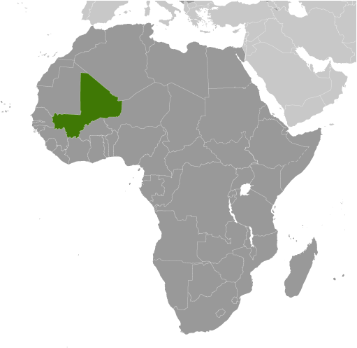
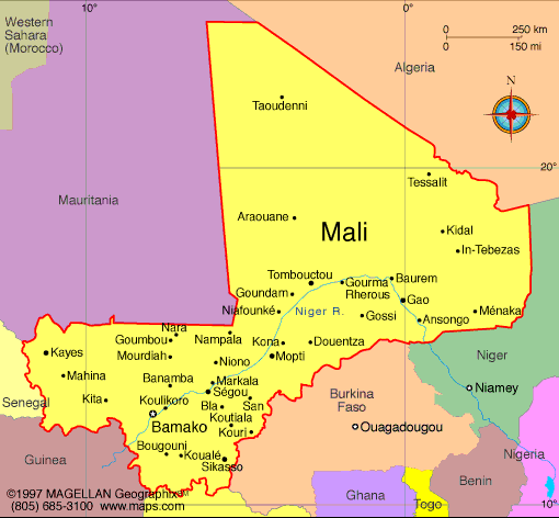
>Border countries: Algeria 1,376 km, Burkina Faso 1,000 km, Guinea 858 km, Cote d'Ivoire 532 km, Mauritania 2,237 km, Niger 821 km, Senegal 419 km
>Coastline: 0 km (landlocked)
>Climate-subtropical to arid; hot and dry (February to June); rainy, humid, and mild (June to November); cool and dry (November to February)
>Terrain-mostly flat to rolling northern plains covered by sand; savanna in south, rugged hills in northeast
>Lowest point: Senegal River 23 m
>Highest point: Hombori Tondo 1,155 m
>Total area: 1,240,192 sq km
>Water area: 20,002 sq km>Land area:1,220,190 sq km
>United states comparison-slightly less than twice the size of Texas
>Total distance of all land boundries: 7,243 km
>Border countries: Algeria 1,376 km, Burkina Faso 1,000 km, Guinea 858 km, Cote d'Ivoire 532 km, Mauritania 2,237 km, Niger 821 km, Senegal 419 km
>Coastline: 0 km (landlocked)
>Climate-subtropical to arid; hot and dry (February to June); rainy, humid, and mild (June to November); cool and dry (November to February)
>Terrain-mostly flat to rolling northern plains covered by sand; savanna in south, rugged hills in northeast
>Lowest point: Senegal River 23 m
>Highest point: Hombori Tondo 1,155 m